Smart Farming with Satellite and GIS

Introduction

Agriculture is the backbone of India’s economy, employing over half of the workforce and feeding
more than a billion people. However, farmers continue to face increasing challenges such as
unpredictable weather patterns, shrinking natural resources, soil degradation, and pest outbreaks.
Traditional farming practices alone are no longer sufficient to meet rising food demands and
ensure sustainability. This is where satellite image analysis and
GIS-based mapping emerge as game-changers, enabling farmers and policymakers
to make data-driven, climate-smart decisions.

How It Works

  • Satellite Imagery (Optical & SAR): Tracks crop health, soil moisture, and
    vegetation indices to detect stress at an early stage.
  • GIS Mapping: Creates detailed maps for land use, irrigation planning,
    and crop zoning to optimize resource allocation.
  • Climate Monitoring: Integrates rainfall, temperature, and soil data
    for better weather forecasting and crop planning.
  • Early Detection: Identifies risks such as droughts, floods, or soil
    degradation before they become critical, allowing preventive measures.

Applications in Agriculture

The use of satellite data and GIS tools is transforming agriculture in multiple ways:

  • Precision Farming: Farmers can apply water, fertilizers, and pesticides
    only where needed, reducing costs and environmental impact.
  • Yield Forecasting: Predictive models help estimate crop output, enabling
    governments and markets to prepare in advance.
  • Disaster Preparedness: Flood or drought-prone zones can be mapped, ensuring
    timely interventions for affected communities.
  • Food Security: Accurate data ensures that food supply chains are better
    managed, reducing losses and improving distribution.

Impact on Communities

By applying these technologies, the SDG Foundation empowers farmers and local
communities with actionable insights. Improved yield forecasting reduces uncertainty,
while water-use efficiency ensures sustainable irrigation. Access to spatial data
strengthens decision-making at the grassroots level, giving farmers more confidence in managing risks.
This not only improves rural livelihoods but also contributes to national food security and economic
stability.

Conclusion

With a mission aligned to the UN SDGs and Viksit Bharat @2047,
satellite and GIS-driven agriculture is paving the way for climate-smart farming,
resilient communities, and a sustainable future. By bridging advanced geospatial
research with grassroots implementation, SDG Foundation ensures that technology benefits both
science and society equally.

Recent Blogs:

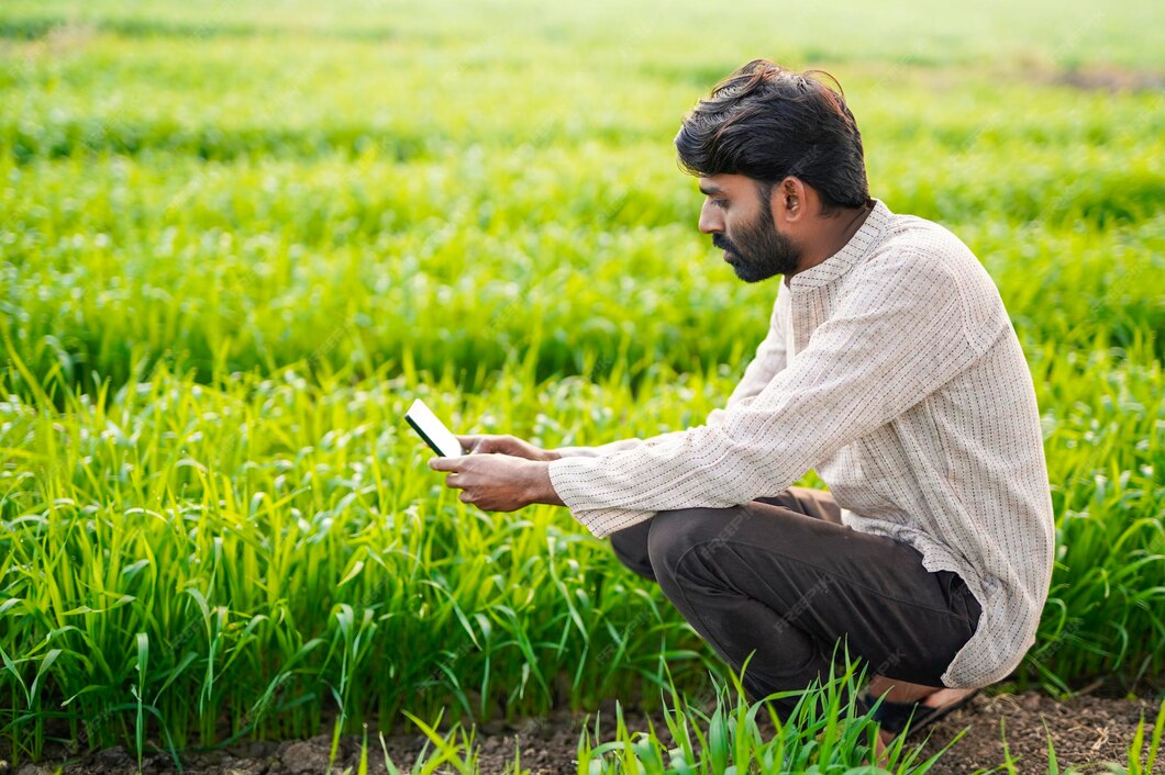
GeoAI for Agriculture and Planning Introduction Artificial Intelligence (AI) is reshaping industries worldwide—and agriculture is no exception.At the SDG Foundation, we integrate …

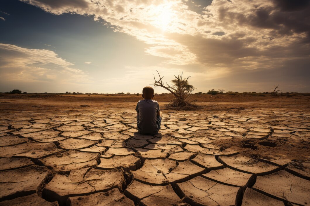
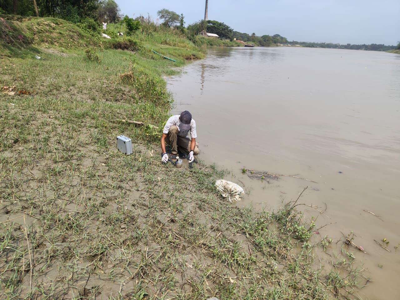
Disaster Mapping and Early Warning Systems Introduction India is one of the most disaster-prone countries in the world, facing recurring floods, cyclones,landslides, …