Introduction
India is one of the most disaster-prone countries in the world, facing recurring floods, cyclones,
landslides, earthquakes, and droughts. With climate change intensifying the frequency and severity of
such hazards, communities are becoming increasingly vulnerable. Timely response, preparedness, and
sustainable planning are crucial to saving lives, protecting livelihoods, and minimizing economic losses.
Our Approach
At the SDG Foundation, we combine advanced remote sensing,
geospatial data, and community participation to develop
effective disaster management solutions. Our approach ensures that technology and local knowledge
work hand in hand:
- Hazard Mapping: Identifies flood-prone zones, landslide-risk regions, and
earthquake-sensitive areas using spatial datasets. - Resilience Planning: Helps governments, NGOs, and institutions prepare
resources and response strategies in advance. - Early Warning Systems: Integrates real-time satellite imagery, weather data,
and community alert systems to ensure rapid action. - Post-Disaster Assessments: Maps affected areas quickly to support relief
distribution, rehabilitation, and long-term planning.
Real-World Applications
Disaster risk mapping and early warning systems are already proving their value across India and beyond:
- Flood Management: Mapping floodplains of the Ganga and Brahmaputra
rivers to support timely evacuation and resource allocation. - Landslide Prediction: Using satellite data in Himalayan states to
monitor slope stability and issue early alerts. - Cyclone Tracking: Providing early warnings to coastal communities in
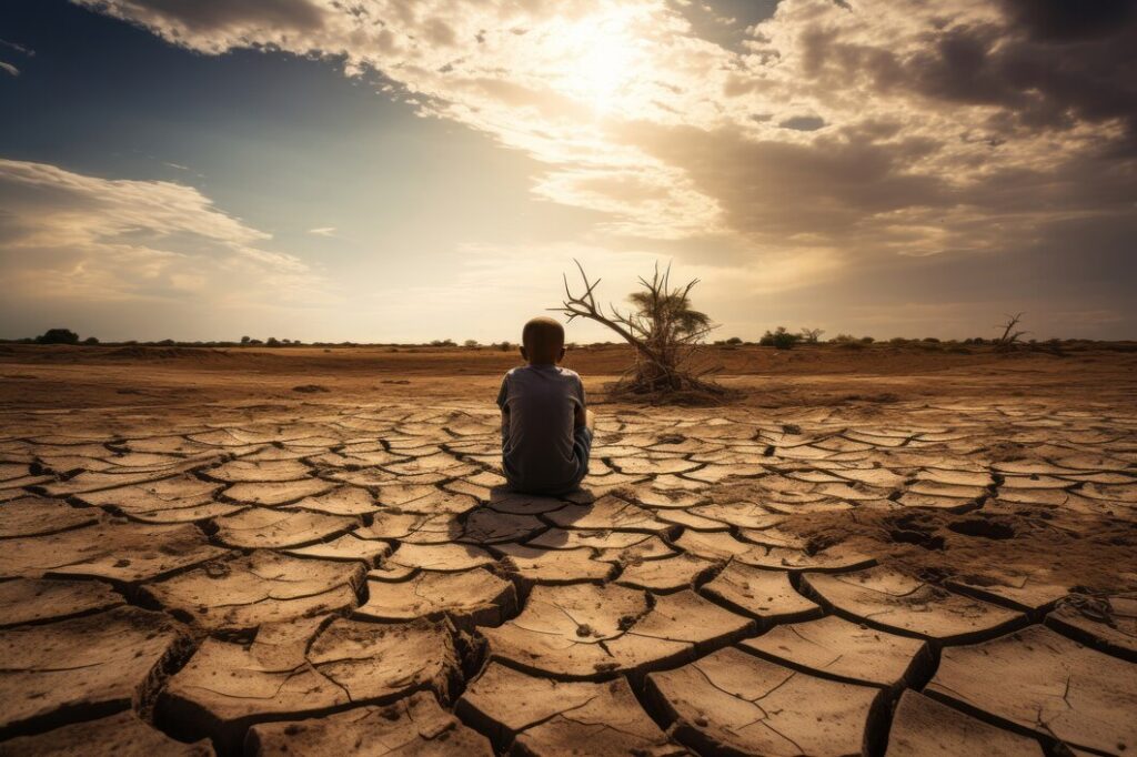
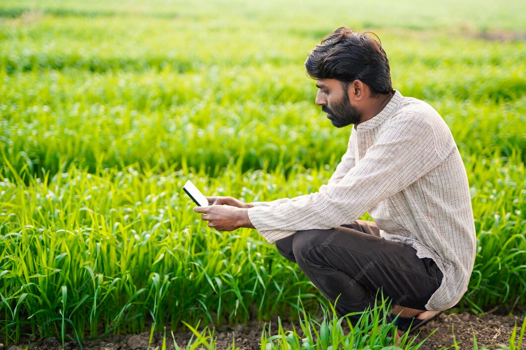
Odisha, West Bengal, and Andhra Pradesh to minimize loss of life. - Drought Monitoring: Supporting farmers with water stress data to
manage irrigation and crop choices effectively.
Community Benefits
These services not only save lives but also strengthen community resilience.
When vulnerable populations are trained and equipped with accurate geospatial information,
they can make quicker, more informed decisions. Early warnings reduce panic, minimize economic
losses, and help communities bounce back stronger after disasters. Our approach ensures
that solutions remain people-centric, blending advanced science with
grassroots engagement.
Conclusion
Through disaster mapping, resilience planning, and
early warning systems, the SDG Foundation is working towards building a
climate-resilient India. Aligned with the UN Sustainable Development Goals
and India’s vision of Viksit Bharat @2047, our initiatives are creating safer,
smarter, and more sustainable communities prepared to face future challenges.